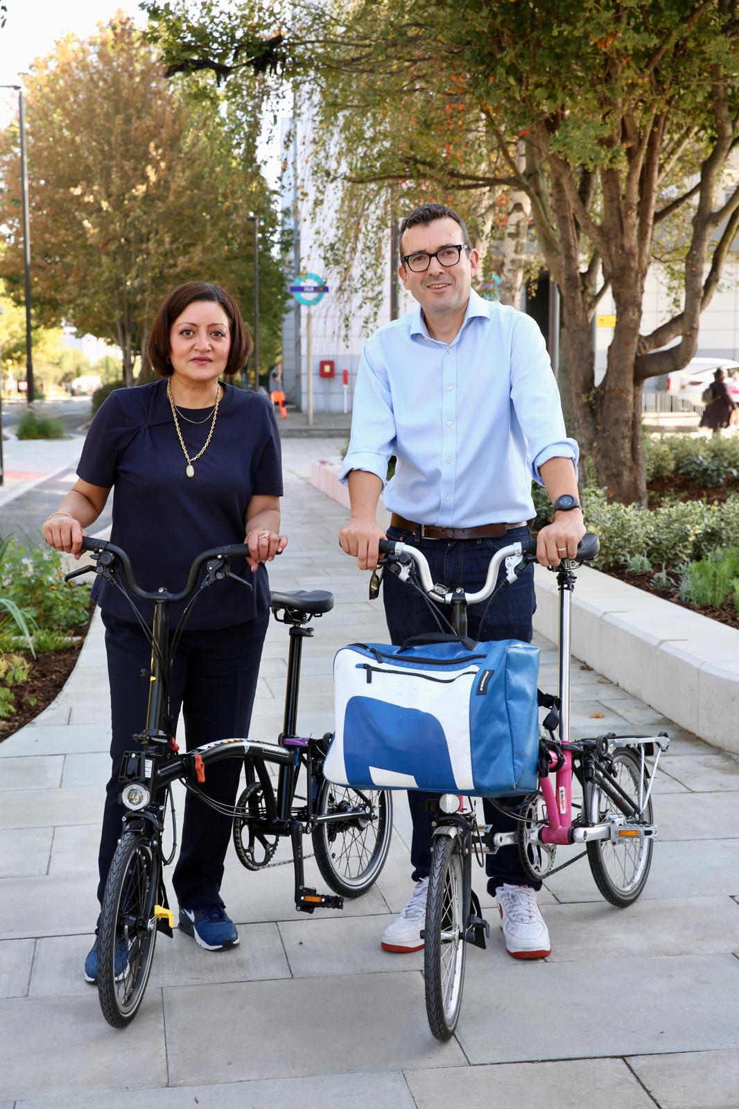
About the project
Newham Council, in partnership with the Royal Docks Team (a joint initiative from the Mayor of London and the Mayor of Newham) has improved the road layout and street environment along the Royal Docks Corridor, which includes Silvertown Way and the section of North Woolwich Road up to Connaught Bridge.
These roads were originally constructed to accommodate commercial and industrial vehicle traffic to serve the historic uses of the Royal Docks. With the Royal Docks Enterprise Zone, a designated area that provides tax breaks and other business incentives to attract foreign investment, 60,000 new jobs and 25,500 new homes are forecast in the wider area. The Royal Docks Corridor, which runs along the south-west boundary of the Enterprise Zone, is integral to the growth of the area. The Royal Docks Corridor project has provided a general uplift by creating new public spaces, wider pavements, separated cycle lanes, better crossings and connections to local destinations, and more greenery and planting. These changes have created safer and more and attractive streets for everyone to enjoy, improving air quality, and encouraging people to be more active and healthy.
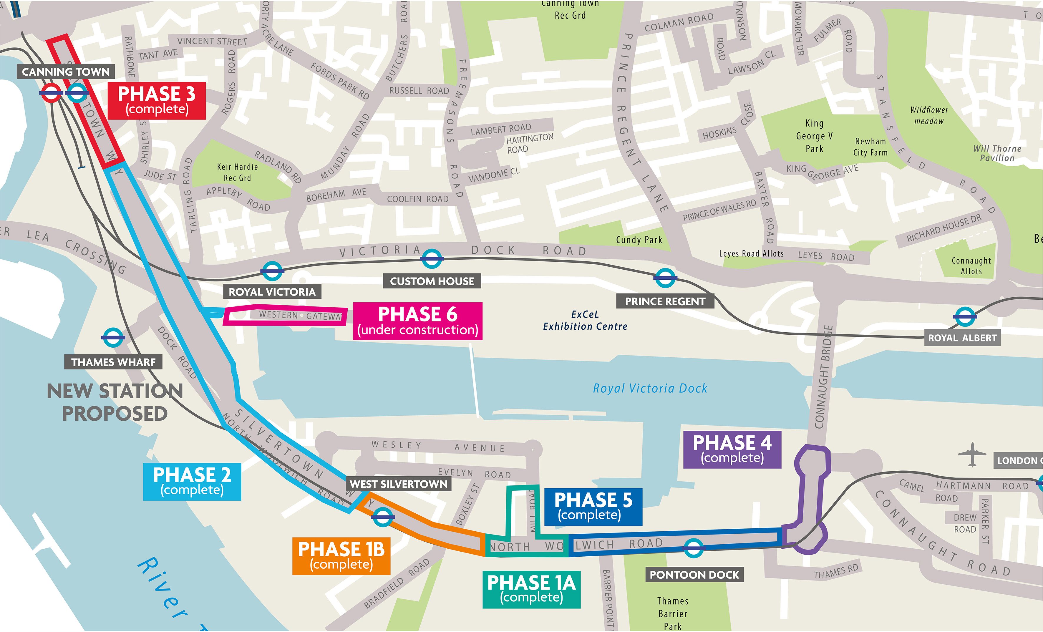
Project area
The project area extends from Canning Town to Connaught Bridge and is divided into six phases shown on the map below. Phase 1 to 5 are complete and ready to use. Phase 6, Western Gateway, is an additional phase that was not part of the original scope of works. This additional phase was made possible because the original Royal Docks Corridor project was delivered under-budget. The council and the Greater London Authority have invested further to extend the improvement works. Construction on Phase 6 started on 27 October 2025 and is expected to last one year.
Scheme objectives
The objectives of the scheme are consistent with the Mayor of London’s Transport Strategy and TfL’s Healthy Streets outcomes:
- Make it easier, safer and more convenient for people to walk, cycle and use public transport
- Improve air quality and reduce pollution levels
- Reduce the dominance of traffic
- Slow down vehicle speeds
- Provide a much safer environment for pedestrians and cyclists
- Improve access and connections to the DLR stations along the route
- Ensure that bus services run smoothly and are on time
- Include more greenery, trees and planting
- Make people feel safer and more comfortable in the area
- Make the street more attractive and create a ‘sense of place’ so that people enjoy spending time here
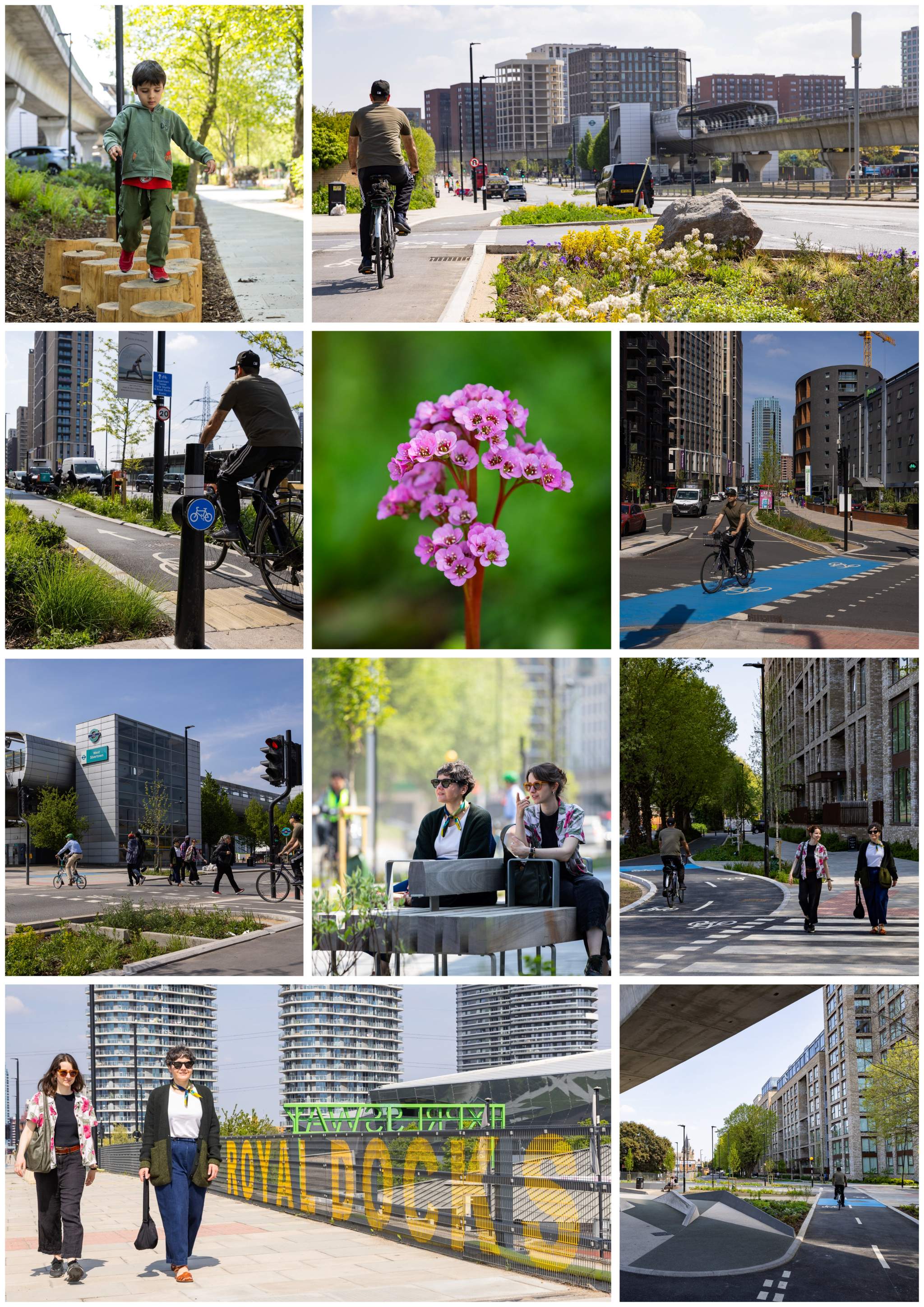
How the area looks now
Royal Docks Corridor reviewed by London Cycle Routes YouTube channel
Positive comments for the Royal Docks Corridor scheme:
As someone who lives in Royal Wharf, these new cycle lanes are fantastic. The construction works were pretty painful at times, but worth it in the end.
The old lanes along North Woolwich Road had Give Ways to wide vehicle access roads every few hundred metres. This is a very significant improvement. Great to see.
[This scheme] really showed what can be done with cycleways with a bit of planning.
[…] the cycling experience from North Woolwich Road to Lower Lea Crossing has been completely transformed for the better. This will be really cool for people living there and also those wanting to visit and discover culture, events etc in the Royal Docks area. A big upgrade because now this district benefits from connectivity with all of London's other routes too.
I went to this area for the first time when they extended the 129 route and it is really nice over there.
The walk from the hotel to the DLR station was incredibly pleasant with the wide pavements and greenery separating you from the road, and for the most part, from the cycle path too […] I wish all new developments in the UK lived up to this standard.